Forecasting hope: climate action for a more resilient Cook Islands
Cook Islanders have a close connection to their land and feel a sense of stewardship to protect it against the rapidly changing climate.
However, extreme coastal hazards are increasing, including rising sea levels, tropical cyclones, and changing rainfall patterns, putting coastal communities and the livelihoods that depend on them at risk.
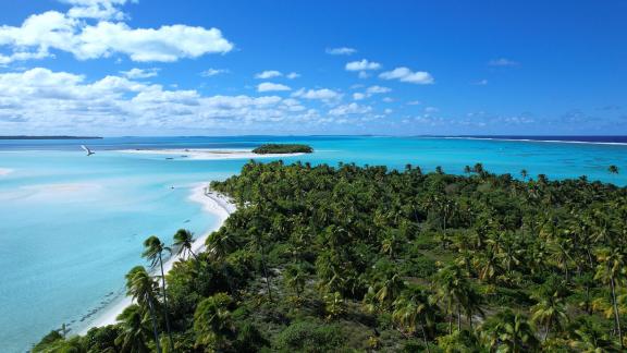
Amidst the Pacific Ocean lies 15 pristine atolls and islands scattered across approximately two million square kilometres of the sea.
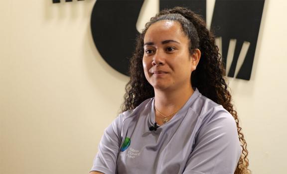
Tessa Vaetoru speaks about Cyclone Martin, which passed directly over Manihiki in 1997, one of the most powerful and devastating storms experienced by residents on the island.
“Cyclone Martin didn't just show us what it means to be unprepared, it reminded us of how isolated and vulnerable we are as small island communities in a vast ocean. An entire island left to survive in silence, with no warning and no way to call for help. It taught us the cost of silence, of systems that don't reach us in time. FP147 is an investment that is changing that, it's about ensuring our outer islands are seen, heard and warned, giving our people access to accurate climate information, early warning systems that can save lives. Because no one should ever have to live through what Manihiki did”
Forecasting a resilient future with climate insights & early warnings
To deliver lasting climate resilience, the Green Climate Fund (GCF) is funding a USD 49.9m climate information and knowledge services project implemented by the United Nations Environment Programme (UNEP) and the Cook Islands Government.

The project is funding the implementation, improvement, and maintenance of critical high-quality climate information and early warning systems for multiple hazards.
“[The project] focuses on the MET (Meteorological) Office, which is strengthening its infrastructure in the Outer Islands (Pa Enua) and right across the nation so that it can disperse more credible, timely information to our communities.”
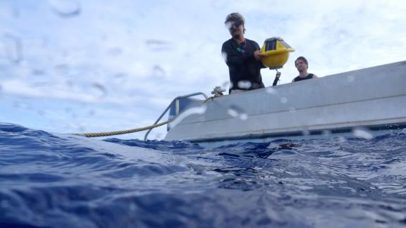

Wave buoys funded by the project allow meteorologists to measure wave height and gauge the intensity of storms. This vital forecast and climate information allows time to implement necessary safety procedures and enables adequate communication for communities ahead of climate events.
“We're able to put out our own stations, collect our own data, input that into the models and create our own forecasting system. Since the Green Climate Fund came in, we've seen an increase in staff capacity. They've taken on more responsibilities to sustain ourselves as a Cook Islands MET Service.”
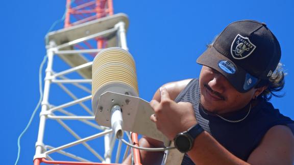
An automated weather station (AWS) collects meteorological data automatically, measuring parameters like temperature and wind speed. It provides real-time data for agriculture, aviation, and climate monitoring, enhancing accuracy and efficiency in weather forecasting.
“With the support from the GCF, we're able to build ourselves up as a really strong whole Cook Islands MET Service so that people can rely on us again to provide accurate information and provide forecasting and warnings to our own people.”
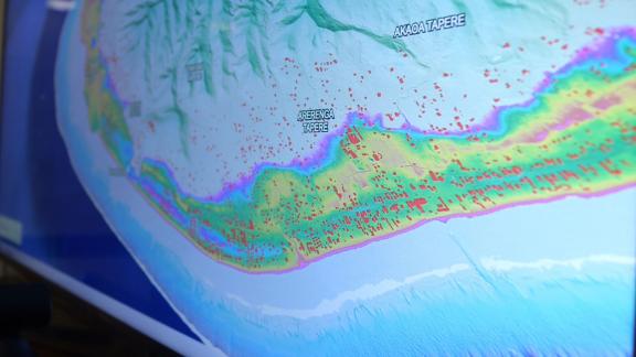
The project also supports the production of high-level national-scale coastal inundation hazard maps for the Cook Islands, identifying where there are the greatest risks from sea level rise including inundation and salination of land and fresh water sources.
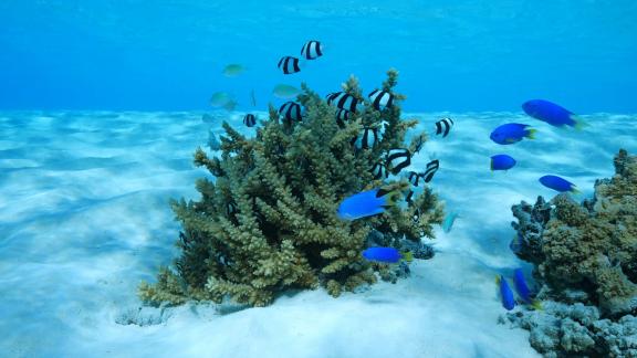
Climate change is threatening the coral reefs that underpin fisheries.
Rooted in wisdom: community voices & Indigenous knowledge
A project component, ‘Te Aorangi Kupu,’ involves integrating scientific information with traditional knowledge, language and storytelling. The Climate Change office translates climate and weather terminology to Cook Islands Te Reo Maori, the local language, making climate information accessible for all. They also incorporate traditional knowledge into their solutions. For example, insights about water holes—such as their locations and optimal usage times—have been passed down through generations.
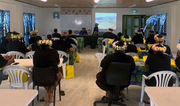
Community members in the Pa Enua (outer islands) have been closely involved in the design of these weather and climate forecasting services.
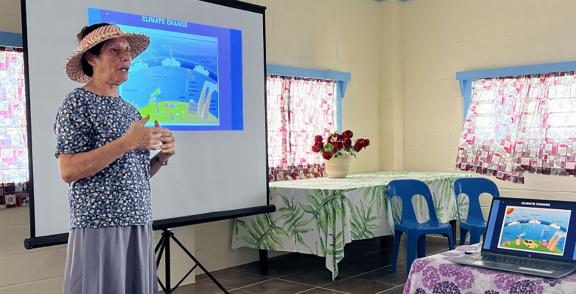
Celine Dyer engaged in community discussions in Manihiki. Photo: Charlene Akaruru
“Getting communities engaged in these discussions, getting their feedback, and having them provide solutions [is important]. They're the ones who know the solutions that suit their context.”
A more climate resilient future
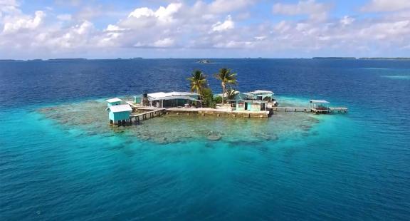
GCF is helping to safeguard the future of the Cook Islands.
“[This year, 2025], we will get our first weather radar for Rarotonga, which means we will be able to see all the weather systems within 100 kilometres of this island. That's a huge investment. Without the GCF project, we couldn't fund infrastructure like that. There's just no way we could.”
By Zeenia Dastur